Nebraska GIS Council Emphasizes the Latest Published Data Standards
One of the Nebraska Information Technology Commission (NITC) GIS Council’s roles by statute is to develop statewide policies and standards to help guide the acquisition and sustainability of our core Nebraska Spatial Data Infrastructure (NESDI) framework layers. When data is collected and shared at several levels of government in the state it has an economic and utility benefit for everyone including our taxpayers. These data layers amount to thousands of dollars spent annually. Improper acquisition and maintenance can prevent its full utilization of use and can cost taxpayers even more.
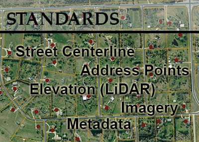
The NITC GIS Council has approved and published several standards within the last year that include metadata, elevation, imagery, street centerline and address standards. These standards provide guidance towards the development, management, and sharing of data and services intended to meet our statewide NESDI needs. These standards also serve as a guide for government entities to use when developing proposals and contract agreements. Details of these standards are located at the following web sites. Please feel free to share these with others in your organization, department or agency.
If you have questions in regards to these standards or the NESDI feel free to contact John.Watermolen@nebraska.gov or your GIS Council representative. Also, if you are acquiring data in the areas that support the NESDI we would like to hear from you.
NITC 3-201 Geospatial Metadata Standards
This standard has been developed specific to the needs of Nebraska stakeholders while maintaining compliance with the metadata standards from the Federal Geographic Data Committee (FGDC) and the International Standardization Organization (ISO). These standards were originally adopted on September 23, 2005 and have been updated to include changes in ISO data standards endorsed by the FGDC.
NITC 3-203 Elevation Acquisition Using LiDAR Standards
This standard is intended for entities participating in collaborative efforts to acquire airborne LiDAR elevations that may contribute to a comprehensive statewide elevation dataset in Nebraska. The standards are derived from the U.S. Geological Survey (USGS) National Geospatial Program’s (NGP) LiDAR Base Specification Version 1.0 and specify Quality Level 3 acquisition requirements and. This standard emphasizes particular requirements and needs for Nebraska.
This standard is designed for statewide aerial imagery acquisition efforts that meet ASPRS Level II standards meeting minimum horizontal accuracy requirements for a spatial resolution of 12 inch, preferably flown during the “leaf-off” period for trees. These requirements meet federal standards which are driving the need for greater spatial accuracy requirements of imagery for many statewide applications. For example, the National Emergency Number Association has this requirement to develop and create street centerline and address points.
NITC 3-205 Street Centerline Standards
NITC 3-206 Address Standards
These standards provide requirements necessary for the creation, development, delivery, and maintenance of a statewide Nebraska Street Centerline Database (NSCD) and Nebraska Address Database (NAD). Both standards have a direct correlation to one another. There are many applications that use street centerline and address point data. These standards will enable the data to be integrated not only with NG 9-1-1 but with existing state road network and address databases, routing services, emergency management, and public safety. Address points furthermore support state agency needs in contact database, tax assessment and enhancing the state’s enterprise geocoding application databases. The standards are compatible with the National Emergency Number Association (NENA) standards for NG9-1-1 and are backwards compatible to enhanced 9-1-1. These standards can be used at local, state and federal level to ensure interdisciplinary compatibility and interoperability with other databases. These standards integrate with existing standards such as the US Federal Highways, National Emergency Number Association (NENA), U.S. Postal Service (USPS) Addressing Standard, and other NITC related standards.
Also available are the NITC 3-202 Land Record Information and Mapping Standards.
The purpose of this standard is to realize the maximum long-term return on and overall utility of the public's investment in the modernization of how Nebraska's land records are maintained and distributed. These standards are currently being evaluated for necessary updates.